Newman Lake Mud Loop
Scroll down -- there's more than just a map here*
|
|
\/
From: 472 W 26th Ave, Spokane, WA 99203 To: 472 W 26th Ave, Spokane, WA 99203
Approximate Distance: 49.8 miles


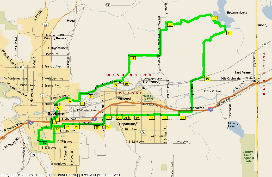
Pay no mind to the zillion waypoints on the map. It's a work around for the mapping software to force the route onto the roads where I want to go. Even when I configure the software to avoid interstates, arterials, etc -- it will go to these "faster" routes. Again, another plea. If someone knows an easier way to do this, please email me.

The loop is pretty easy to see on the map here. Basically, ride out on the Centenial Trail until about 1/4 mile just west of Argonne, where you cut over on a slow part of Wellesley and cut up into the rural area of the north valley. From there, it's up and over the little mountain and to Newman Lake. A fun ride.

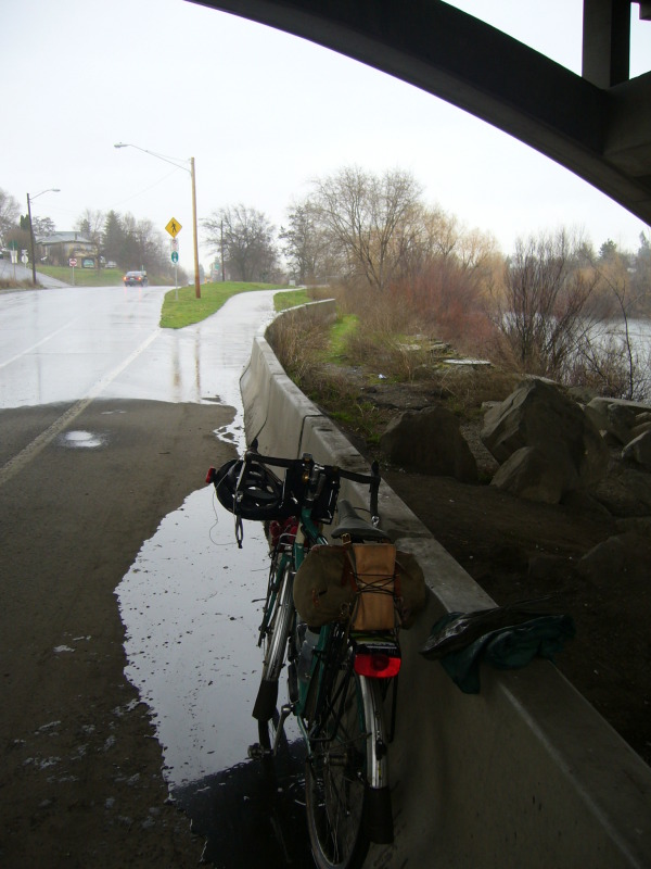
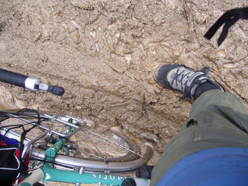
I took this ride on the last day of March and it rained the entire time. I was drenched, but I had a great time.

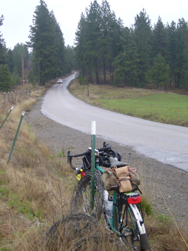
Lots of climbing for the first 20 miles of this ride. Steep stuff too. All of the climbing, however, is on low-traffic roads.

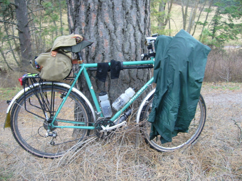
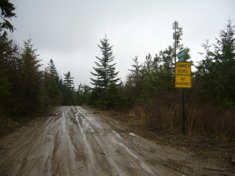
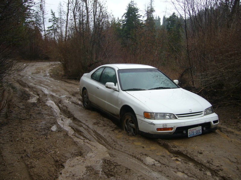
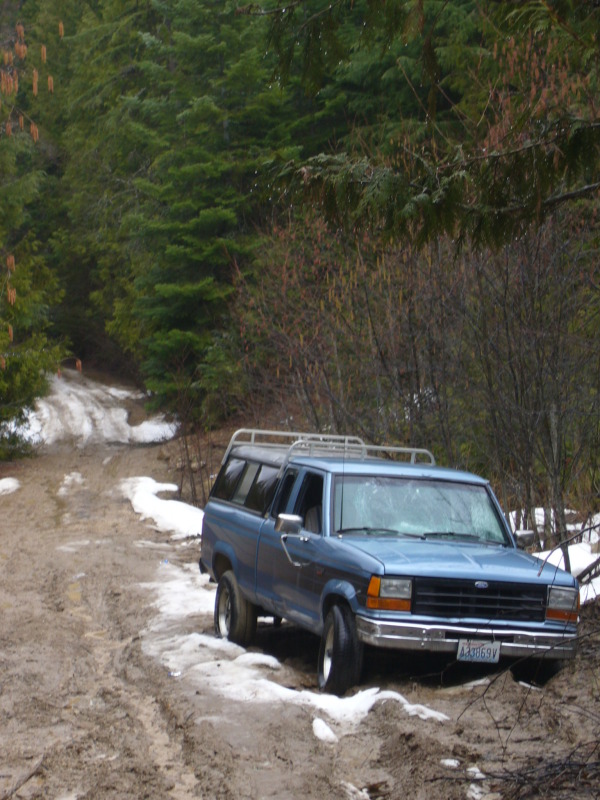
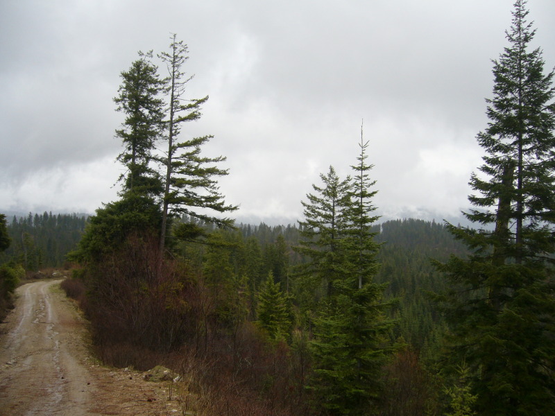
There's about 6 miles of dirt road on this trip; 3 miles or so is not maintained; I was happy I road my bike with 26 x 1.50 tires, since I saw a bunch of mud. I would say that this is a very passable road with 700 x 28s (or fatter) in the summer. In fact, I look forward to doing this ride in each season, as there are a few nice views that I'd like to see on a clearer day.

Instruction
Starting at waypoint 5 -- which is Mission Park. Jump on the trail and head east. Go about 5.5 miles. At this point, you'll be on Upriver Drive. Just as you're passing an elementary school on your right, and as the road begins to turn right up a small hill, go straight on to Wellesley.
watching the rain from under the Greene ST bridge
Cross Argonne, staying on Wellesley. In a half mile or so, Wellesley will turn into Lehman RD. Lehman road is the first steep climb of the ride. As you approach the climb, you'll note the end of sprawl on your left and the scenic view on the right. Lehman hill edge of sprawl
After climbing Lehman hill, stay on Lehman and cross Bigelow Gulch Rd. At this point, Lehaman turns into Pleasant Prairie Rd and the ride is much calmer, traffic-wise. Stay on Pleasant Prairie for about 3 miles until it turns into Forker and then turns north.
Stay on Forker for just over 3 miles, then go right (east) on Temple. This is where the road turns to gravel/dirt. edge of sprawl
Temple road is about 6 miles. The first 3 miles is various grades of climbing to the top. You're at the top when you see a sign that says "Summer Road -- Not Maintained." Take that road. Among other images, the pictures here show two abandoned cars that got stuck in the mud. After you crest the top, it's all down hill until you hit West Newman Lake Drive.
top of the hill 1st abandoned car 2nd abandoned car mud I think this would be a great view on a clear day
Follow the road around Newman Lake for about 2-3 miles. Somehow I missed the right turn at Campbell Road (the route marked on the map here) and I ended up continuing west another couple miles until I hit Star Road, where I went right. Star road and Campell Road both put you onto Trent eventually.
Bike in front of Newman Lake From Trent, you've got a bunch of options to get back into Spokane. I went south on Barker road and hooked back up with the Centenial Trail. The map here shows going over Barker and hooking up with Valley Way (waypoints 16-23), which is one of my favorite roads in Spokane. As the map shows, Valley Way runs parallel to Sprague. It's a low traffic, smooth, and scenic route through the valley. You see a lot of old farm houses other interesting homes that really tell the history of the Valley in a cool way.


johnspeare@gmail.com

Bikes